DFHRS - Brandenburg and Berlin 2004
The DFRHS database for Brandenburg and Berlin (fig.) was computed in 2004 within the DFHRS project at IAF/HSKA on commission and by using the data of the Landesvermessung und Geobasisinformation Brandenburg. The computation was not following the adjustment approach (2a-f), but it was performed here as a direct mapping of the BKG Quasi-Geoid to the continuous HRS polynomial surface of the DFHRS approach stage 1 over Brandenburg and Berlin. So neither the shape nor the quality of the resulting DFHRS have been changed or were improved, respectively, and correspond both to original BKG Q-Geoid grid. The fig. below shows the mesh-design for the HRS polynomial mapping.
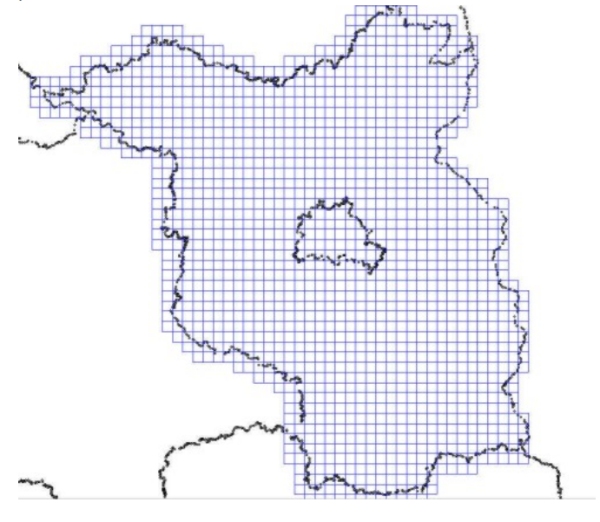
Fig.: FEM meshing for the computation of the DFHRS data-base for Brandenburg and Berlin
