DFHRS-Software Version 4.2
The mathematical model of the least squares adjustment approach of the DFHRS software, version 4.2 parametrizes by sets of bivariate polynomial parameters p in a grid of Finite Element meshes (FEM) the HRS as a continuous surface in an arbitrary large area.
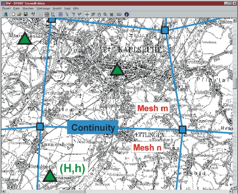
Fig.: Screenshot on the DFHRS software version 4.3
As observation data input geopotential models (GPM) e.g. EGM 2008, existing HRS models N (such as e.g. EGG97), vertical deflection observations (x,h) and identical points (B,L,h | H) are used in a least squares computation to derive the DFHRS-parameters p. To model optimally the observation input from GPM and from external geoid or Q-geoid models N, the total area may be parted on the computation into different patches with individual datum-parameters d, in order to reduce the effect of existing medium and long waved systematic errors. In that way many DFHRS precise ((1-3) cm) and high precise (1 cm) databases have been computed up to now all over the world. They are used for GNSS-heighting on individual GNSS-controllers, as well as by different GNSS-positioning services for a HRS Grid-based RTCM transformation messages set up, in different countries (www.geozilla.de, www.moldpos.eu).
